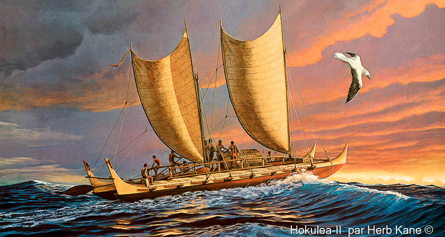
I have always been fascinated about the Polynesian navigators who without any navigational charts or navigational instruments such as sexton, compass or time piece (chronometer) navigated across vast distances of the tropical Pacific ocean.
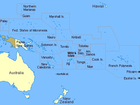
When reading about Captain Cooks voyages across the Pacific he used a Tahitian Priest called Tupaia who was expert in ancient Polynesian art of Wayfinding.
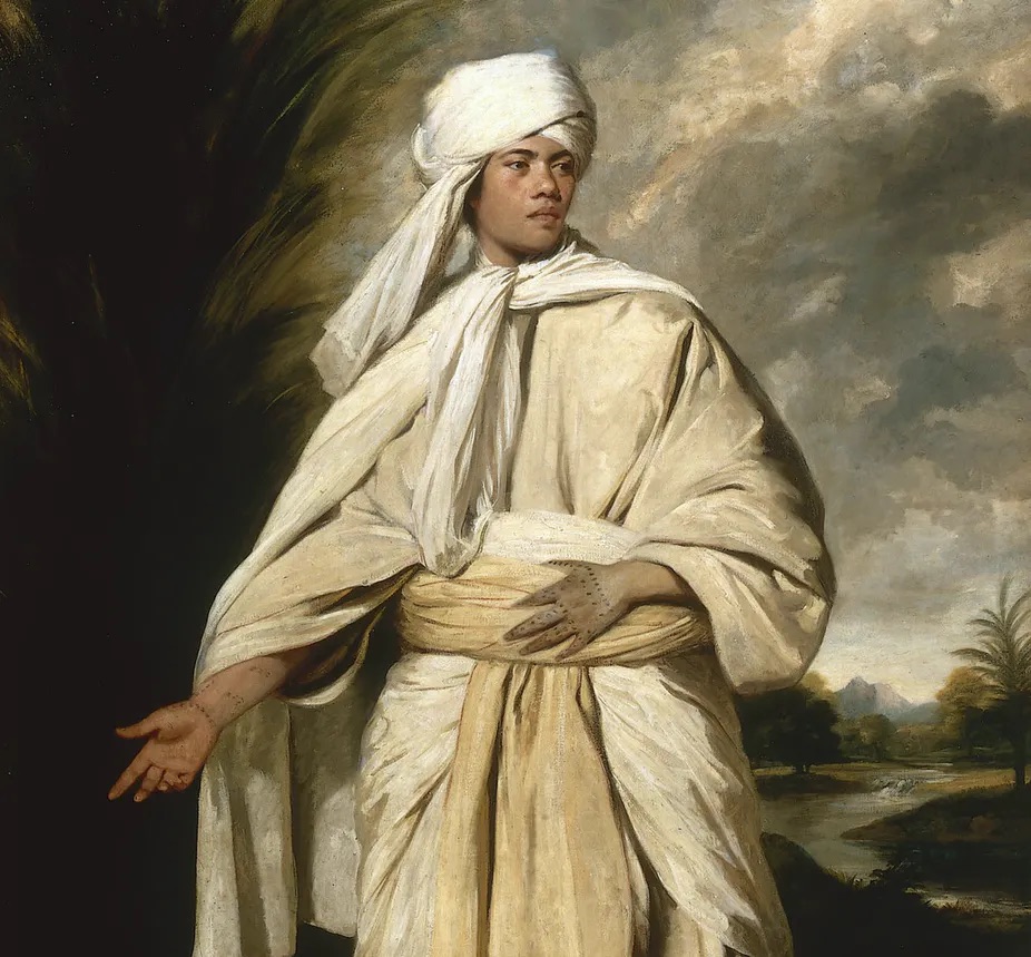
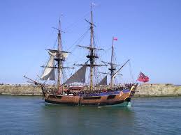
When Tupaia was onboard Endeavour if Cook ever ask him to point out where Tahiti was he instantly was able to turn around and point in the right direction to where they had come from. Cook was also amazed how Tupaia was able to sketch the location of each of the islands on their Journey westwards. When they arrived in New Zealand Tupaia was able to converse with the Māori peoples in the Polynesian language and they understood one another!
How was Tupaia able to achieve this amazing feat of navigation across the Pacific?
The navigational art of the Wayfinder?
Last year when I was sailing northwards up the Adriatic at night I used Polaris the North Star ahead of me and to my port or left was the Great Bear or Ursa Major star constellation and to my starboard or right was Jupiter and Saturn who were closely aligned one behind the other on the ecliptic path across the night sky.
In the northern hemisphere Polaris can be found using the Great Bear, Big Dipper or plough to help you identify Polaris. Polaris is the North Star and always stay in fixed position in the night sky depending upon your latitude.
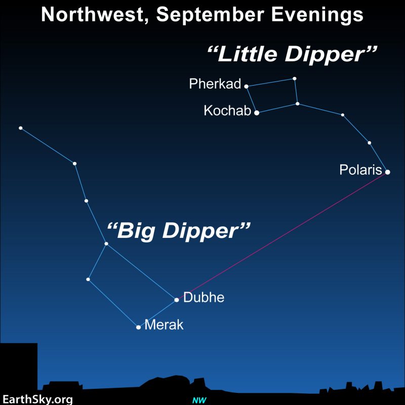
You identify the plough or Big Dipper or Ursa Major by it’s shape and the two lead stars which are Marek and Dubhe. If you push your arm out and use your two fingers to gauge the distance between the lead stars and from there take straight line of outwards and use five fingers you’ll will identify Polaris. Now remember that Ursa Major will rotate around Polaris through the night sky anti-clockwise. But the lead stars of Merak and Dubhe will always point to Polaris.
How To Find Stella Polaris
Planets such a Venus, Saturn and Jupiter move across the sky like the Moon and the Sun from east to west. They rise in the east and set in the west along the ecliptic path.
The stars travel from East to West the direction we see them moving depends entirely on which direction we are facing at the time:
Facing North: Stars rotate counter-clockwise (right to left)
Facing South: Stars rotate clockwise (left to right)
Facing East: Stars rise in front, and set behind
Facing West: Stars rise behind, and set in front
Tupaia could look at the night constellations be he in northern or Southern Hemisphere and instinctively knew what constellation were rising into the nights sky to give him his navigational direction. Don’t forget he’s was near or close to the equator which meant equal times of day and night. So for 12 in 24 hours he had a star filled night sky.
During the day he had Venus the morning or evening planet the moon and most importantly the sun. But in that part of the world you have trade or prevailing winds blowing east to west. Dead on the equator you have the doldrums and no winds. But generally the winds blow from east to west.
Wayfinders are able to identify wind and wave direction and the type of swells disturbed by land or reefs, cloud formation migratory birds and higher clouds direction. Islands with vegetation usually show land and habitation by cumulus cloud hanging over them. I remember when sailing from Madeira to La Palma I could see La Palma way before I reached landfall by the cloud formation generated by the La Palma’s own vegetation of pine forests.
The Wayfinder relies heavily on constant observation and memorisation, they have to memorize where they have sailed from in order to know where they are going.
For modern celestial navigators we use a sexton for the celestial body altitude above the horizon and a clock or watch for working out longitude. Set of sight reduction tables for the various navigation celestial bodies such as the sun and planets and the main stars for taking sights at twilight. What has superseded the sexton and dead reckoning ( keeping an hourly log of the magnetic compass course steered, the distance run in knots and wind direction, speed and leeway) now we rely on the GPS Global Position System. We’ve stopped taking sun sights at mid morning Local astronomical noon and mid afternoon sun sight to get a proper 3 point fix and to verify the dead reckoning position. Modern day disconnect and or spatial awareness we all had as hunter gathers.
Columbus and the earlier Viking explores used the sun wind swell and stars for navigation. Using Polaris by its height above the horizon corresponds to your latitude. Columbus and the vikings didn’t have anyway of knowing their longitude so the ran down the latitude line keeping Polaris at same height above their horizon.
Columbus on his first voyage kept more or less at 25 degrees north latitude when he left La Gomera in the Canaries making landfall at San Salvador in the Bahamas. Which is just about 3000 nautical miles from La Gomera, at a steady 5 knots it would of taken him 25 days of continuous sailing.
He saw land fall by seeing small fires on the shore line by the inhabitants cooking. The meaning of Salvador in Spanish is Saviour which is normally an indirect way of naming a Messiah. Why? Because his crew was starting to become mutinous. Columbus thanked the lord for making landfall. Long sailing trips with out seeing land weren’t normal for sailors of the late 1400’s
The Portuguese explorers who got as far as Japan were navigating not far from the sight of land. Only when storms blow them off course did they accidentally come across Atlantic island such as Madeira. It was the popes edict of Spanish Main longitude that the Portuguese discovered Brazil as it sticks out more easterly into the south Atlantic way beyond the Spanish Caribbean and North American continent.
Sailing away from land on a clear star lit night you can spend hours looking up and identify various star constellations. The night sky is absolutely memorising and ablaze with stars. Being able to identify each constellation and main navigational stars for navigational purposes makes you feel connected to the universe.
Finally and in conclusion I feel that the Polynesian Wayfinders were the superior natural ocean navigators and crossed the pacific way before Columbus embarked on his 1492 voyage across the North Atlantic. The Polynesian navigated crossed the pacific west to east from the Philippines against the prevailing winds and currents. Not as Thor Hyadal predicted in his rudimentary balsa wood raft from South American. Polynesian navigators had far superior catamaran and and crab claw sails that could sail close to the wind and run down wind on return voyages. The really sad thing in Polynesian culture is the diminishing art of the Wayfinder.