I had intended to sail to Norway north of Bergen to Sognefjord to do some kayaking. During my time in Sweden the locals had informed me that Norway was closed and Norwegians needing to enter Norway and needed to quarantine for 10 days.
When I arrived in Inverness I had spoken to my sister about the family situation ? Things had deteriorated with her husbands health and he had been hospitalised again. My sister is a carer for my elderly mum who lives with her in Wales.
With shutdown of Norway and the situation back in Wales I decided I needed to change my plans. I had advertised on Crew Seeker for Norway but I had to inform the volunteer crew of my change of plans if they were still happy to join me?
The new plan was to transit the Caledonian canal to Fort William and possibly do some sailing around the western islands? But things back home need my more immediate attention.
The Great Glen that runs from Inverness to Fort William as the crow flies SW is about 50 nmiles. Its a geological fault line to do with plate tectonics and can be seen clearly from outer space.
https://www.geolsoc.org.uk/Policy-and-Media/Outreach/Plate-Tectonic-Stories/Great-Glen-Fault
I had two crew guys join me on the 10 June Harry & Toby. We left Inverness marina on the 11 June at 8.45 to head slightly up the Beauly Firth to enter the sea lock into the Caledonian canal and pay the fee of £195 for a 7 day transit.
The canal runs some 60 miles (100 kilometres) from northeast to southwest and reaches 106 feet (32 metres) above sea level.[1] Only one third of the entire length is man-made, the rest being formed by Loch Dochfour, Loch Ness, Loch Oich, and Loch Lochy.[2] These lochs are located in the Great Glen, on a geological fault in the Earth’s crust. There are 29 locks (including eight at Neptune’s Staircase, Banavie), four aqueductsand 10 bridges in the course of the canal.
| Beauly Firth | |||||
| Clachnaharry Sea Lock | |||||
| Clachnaharry Swing Bridge Far North Line | |||||
| Clachnaharry Works Lock | |||||
| Muirtown Basin | |||||
| A862 Muirtown Swing Bridge | |||||
| Muirtown Locks (4) | |||||
| A82 Tomnahurich Swing Bridge | |||||
| Dochgarroch Lock | |||||
| weir and River Ness | |||||
| Loch Dochfour | |||||
| Loch Ness | |||||
| River Oich | |||||
| A82 swing bridge | |||||
| Fort Augustus Locks (5) | |||||
| Kytra Lock | |||||
| Cullochy Lock | |||||
| A82 Aberchalder swing bridge | |||||
| weir and River Oich | |||||
| Loch Oich | |||||
| Laggan Locks (2) | |||||
| Loch Lochy | |||||
| River Lochy | |||||
| Gairlochy Top Lock | |||||
| Mucomir hydro-electric station | |||||
| B8004 swing bridge | |||||
| River Spean | |||||
| Gairlochy Bottom Lock (left open) | |||||
| Weir | |||||
| Loy aqueduct (river and track) | |||||
| Muirshearlich aqueduct | |||||
| Sheangain aqueduct (road and river) | |||||
| Mount Alexander aqueduct | |||||
| River Lochy | |||||
| Banavie Locks (Neptune’s Staircase) (8) | |||||
| A830 Banavie Swing Bridge | |||||
| Mallaig Extension Railway swing bridge | |||||
| Corpach Double Locks (2) | |||||
| Corpach Sea Lock | |||||
| Loch Linnhe | |||||
Inventor and mechanical engineer James Watt was asked to make a survey of the route. He published a report in 1774, which suggested that a 10-foot (3.0 m) canal from Fort William to Inverness, passing through Loch Lochy, Loch Oich, Loch Ness and Loch Dochfour, would require 32 locks, and could be built for £164,032. He emphasised the benefits to the fishing industry, of a shorter and safer route from the east to the west coast of Scotland, and the potential for supplying the population with cheaper corn, but again, thought that winds on the lochs might be a problem.[4]
At the time, much of the Highlands were depressed as a result of the Highland Clearances, which had deprived many of their homes and jobs. Laws had been introduced which sought to eradicate the local culture, including bans on wearing tartan, playing the bagpipes, and speaking Scottish Gaelic. Many emigrated to Canada or elsewhere, or moved to the Scottish Lowlands.[6] The engineer Thomas Telford was asked to investigate the problem of emigration in 1801, and in 1802 published his report, which suggested that the problem was caused by landowners who had previously kept cattle creating vast sheep-farms. Realising that direct government action to tackle the issue would be seen as interference, he therefore suggested that a programme of public works, involving roads, bridges and canals, would be a way to provide jobs for people who had been displaced by the sheep farming, and to stimulate industry, fishery and agriculture.[7]
Telford consulted widely with shipowners, who favoured a canal instead of the hazardous journey around the north of Scotland via Cape Wrath and the Pentland Firth.[8] He obtained advice from Captain Gwynn of the Royal Navy, who stated that Loch Ness and Loch Lochy were sufficiently deep for any size of boat, and had safe anchorages if winds proved to be a problem, but that Loch Oich would need to be made deeper, as it was shallow in places. He established that Loch Garry, to the west of Invergarry, and Loch Quoich, beyond that, would provide an adequate water supply. He estimated that a canal suitable for ships with a draught of 20 feet (6.1 m) could be built in seven years, and would cost around £350,000. An additional benefit would be the protection that the canal offered to shipping from attacks by French privateers. Telford also looked at the possibility of a canal to link Loch Eil to Loch Shiel, both to the west of Fort William, but ruled out the scheme because of the depth of cuttings that would have been required.[9]
As you can see from the above diagram of the locks, swing bridges and canal sea lochs its quite slow process transiting the caledonian canal. I think most of the lock keepers might be volunteers? Muirtown Locks which has 4 locks you have to moor up on waiting pontoon then be called forward on VHF radio to head into the lock. It took us about 2/3 hours to get through 4 locks at Muirtown and Clachnaharry. We arrived Dochgarroch 14.10 and moored up before the lock so we could transit the following morning through Loch Dochfour and into Loch Ness proper. The followning morning Harry told he would have to leave because personal circumstances. He helped us transit through lock Dochgarroch and then took a taxi back to Inverness.
Watt was correct about the winds that blow up the lochs especially Loch Ness we had SW winds on the nose as high as 30 knots at one stage under engine I though we’d never get to the end of Loch Ness at Fort Augustus but we did arrive at 16.00 12 June. We even tried some motor sailing but after several tacks back forward across Loch Ness I said lets go back to motoring into wind again other wise we’ll never transit Loch Ness!
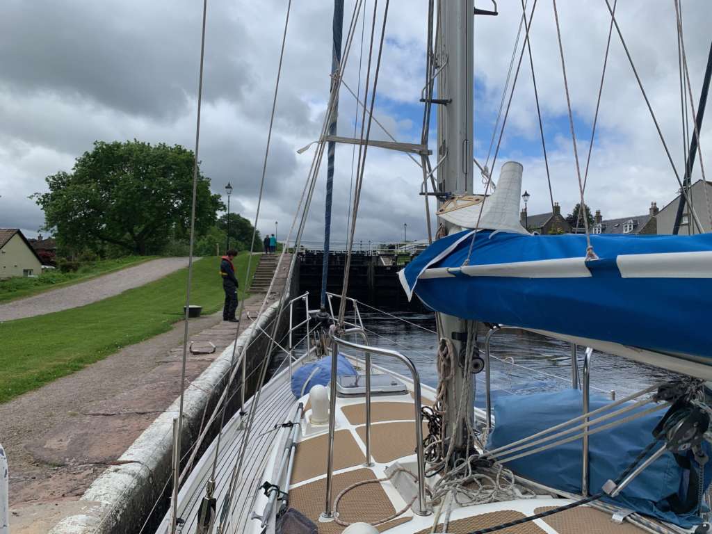
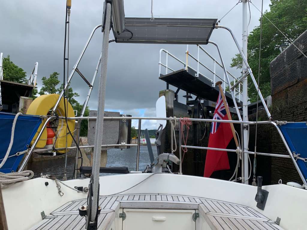
On the morning of 13 June 2021 we were called forward to transit Fort Augustus flight which consist of swing bridge and 5 lock gates which runs through the picturesque village of Fort Augustus. We didn’t get through all the locks until early afternoon. We transited Aberchalder swing bridge and into Loch Oich which about 3.5 Nmiles. We moored up on a waiting pontoon before Laggan swing bridge at 17.49.
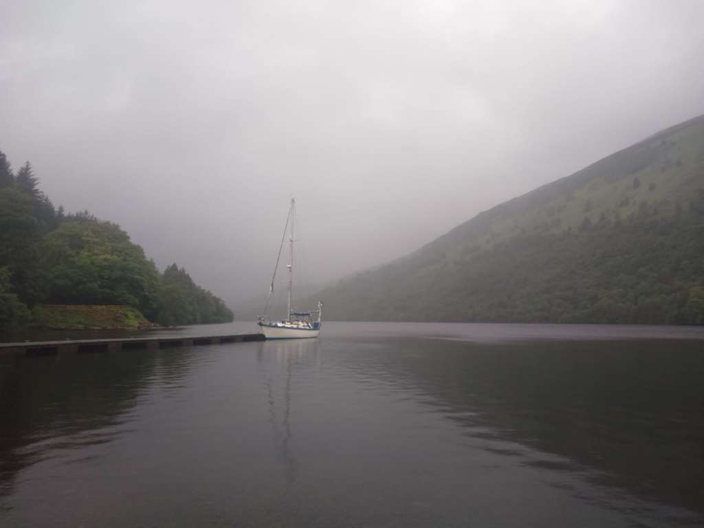
Following morning we waited for the Laggan bridge to open we arrived at Laggan locks and into Loch Lochy had strong winds on the nose again. Arrived in the late afternoon at pontoon just south of Allt Ban. overnighted ready to transit Gairlochy lock and swing bridge. 11.20 we arrived at Neptunes staircase a series of 8 lock gates one after another. BBC2 were filming Great Rail Journeys for next spring and we were filmed transiting through the locks. Couple of swing bridges and Corpach lock into the Lock mooring basin prior to final sea lock into Loch Linnhe, Fort William and beyond!
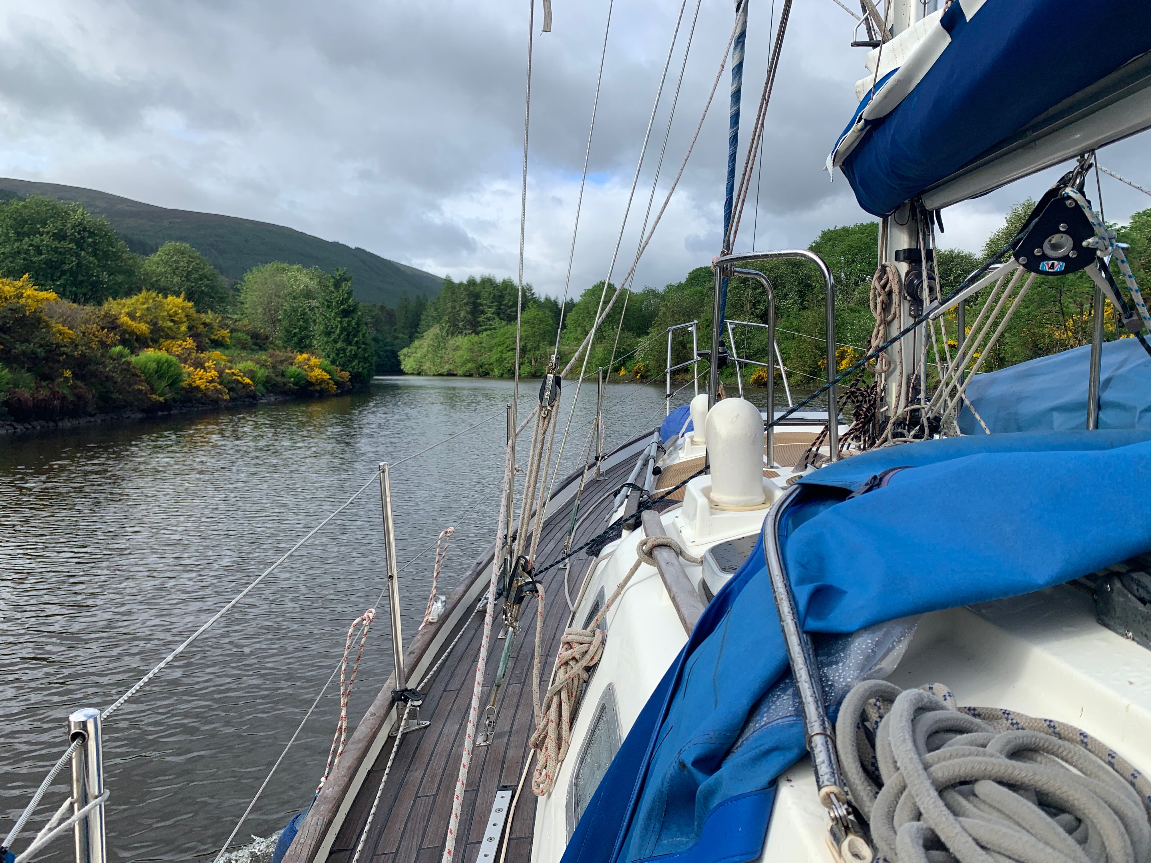
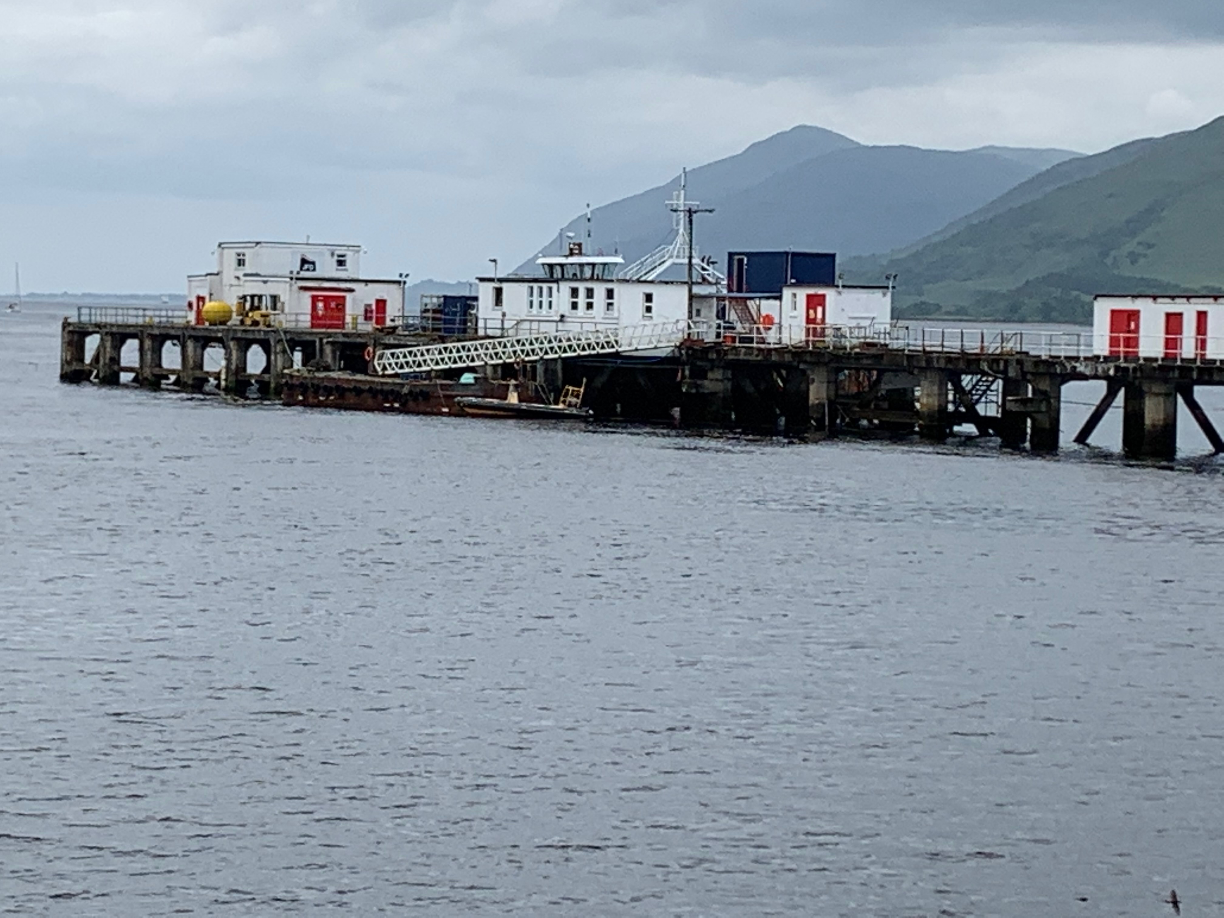
The Following day Toby decided to summit Ben Nevis he was up and away early morning and sucessfully made it to the top! I walked down to Fort William to have look to see if the Underwater Training Centre was still operational as I had completed a commercial air divers course there in 1979.
UTC has long pier that juts out into Loch Linnhe I walked right to the offices, classrooms diving pontoon and compressor house. No sign of life evidently it got into financial trouble probably due to the run down of the offshore oiland gas industry. It was in its day the foremost commerical air and mixed gas diving school in the UK.
On the 17 June 2021, due to the family situation, I decided to head south to Northern Ireland about 158 Nmiles away from Fort William we made an early start 02.50 we left the outer holding sea pontoon to ensure we timed the tide right at the tidal gate at narrow entrance exit between Inchree and Corran. My plan was to go into Dunstaffnage to get fuel for passage to Bangor Northern Ireland. We arrive at Dunstaffnage at 08.30 had to wait for other boats to move off the fuel pontoon before we could fill up both the fuel tank and plastic jerrycans. We left Dunstaffnage at 10.09 headed south.Negotating between island of Lunga and Luing which had strong tidal streams and distrubed water. On down past Jura and Islay on the starboard side and the Mull of Kintyre to port. On the early hours of 18 June I could see the light at the southern end of the Mull of Kintyre flashing but before that on the high ground I could see a constant red light just slightly north of the lighthouse.
That got me thinking about a terrible air accident that took place in June 1994?
Helicopter crash ttps://en.wikipedia.org/wiki/1994_Scotland_RAF_Chinook_crash
Fog aircraft flying too low and fast dangerous mix? Strangely they were flying to Inverness to attend a conference in fort George and they were Special forces trained RAF pilots . ( pilots and aircrew who have to pass a combat survival and interrogation course to take special forces troops behind enemy lines in case they’re shot down or crash and can live off the land and withstand enemy capture and interrogation) They were heading in the opposite direction to my passage to Northern Ireland.
I am not a pilot but I am a navigator but primarily on land and on the sea. Whilst on watch I ponder this terrible accident? It was in June they were heading to Fort George for an important intellgence meeting with high level intelligence people onboard. The pilots who were trained special forces air crew took off from Aldergrove airport to Inverness about at about 160 knots with service ceilling of 15,000 ft max! as the crow flies its about 200N miles to Inverness from Aldergrove. flight time 1.25 to 2 hrs. depending upon wind and weather conditions.
I can’t understand if they lost eyeball contact with the sea and or the land? When they left Aldergrove they could of flown to Rathlin island a good easily identifible leaving point and kept the aircarft in a central position between Islay and Mull of Kintyre. In fog they should of instantly climbed to above max mountain range height untill they were able to get eyeball of the features on the ground to identify their position over the ground?
One of the greatest aviators and sea navigators was Sir Francis Chichester he trained WW2 pilots in the art of dead reckoning. How to identify features on the ground quickly and in systematic way. Have a passage plan with speed distance covered and prominent ground features and stick to it?
Chichester early flying exploits comments; He used Bradshaws train handbook for a reference.
Chichester was to become an expert navigator, but, like the rest of us, he had to learn. Here’s his entertaining account of how, in 1929, he flew a Gipsy Moth aircraft from Liverpool to North Devon, not long after he had acquired his solo license (‘Bradshaw’, I should explain, was the standard railway handbook of the day):
The aeroplane was so knew that it had not yet been fitted with a compass. I was ‘flying by Bradshaw’, following the railway lines across the country, and I wondered if I could fly by the sun. The sky was overcast…I climbed up into the cloud, and proceeded until I had passed through a 9,000-feet layer of it to emerge at 10,000 feet in brilliant sunshine over a snowy-white field of cloud. Not only had I no compass, but no blind flying instruments at all…After flying along for half an hour by the sun, I climbed down through the 9,000-feet layer of cloud. I then wanted to find
out how accurately I had carried out this manoeuvre, and I used a sound principle of navigation. I fixed my position by the easiest method available – I flew round a railway station low down, and read the name off the platform. By some extraordinary fluke I was right on course. I probably uttered for the first time the navigator’s famous cry ‘Spot on!’
Like all skills you have to aquire experience and a feel for things. We are spoilt today with GPS but again they only a guide mind you a wonderful guide at that!
We arrived in Bangor marina Northern Ireland on 18 June at 07.20. Bangor is a small town in Co Down on the shores of Belfast Lough.
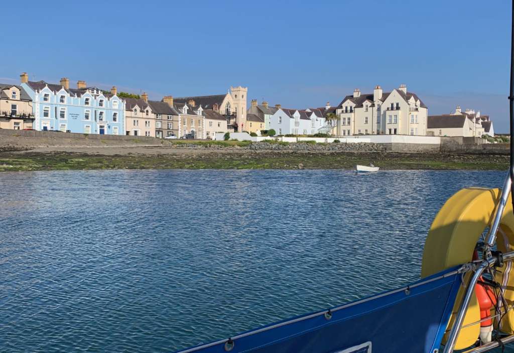
Portaferry 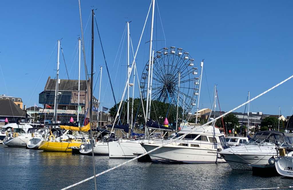
Bangor marina
After resting and catching up on well needed sleep the folowing day I took the train from Bangor to near Belfast to visit the Titanic quarter. Only short trip down the coast to Belfast from Bangor.
Titanic quarter is 20 minute walk from the railway station the whole area was on Queens island part of the massive shipyard Harland & Wolff, but now greatly reduced in size from it hayday of shipbuilding in fact it was one of the largest employers in Northern Ireland. Famous for the construction of the White Star lines Olympic class ocean liners the most famous was the Titanic. Titanic foundered after colliding with an iceberg which float down from Greenland with the Labrador current. Unfortunately the ships designers didn’t have enough lifeboats on board to rescue all the passangers and the compliment of crew.
I had guided tour around the actual area of the slipway where Titanic was constructed. This accident happened on clear night with good visibilty? Strange the captain must of know this was an iceberg corridor? 370 Nmiles south east of Newfoundland.
The Titanic received six warnings of sea ice on 14 April and was travelling at 22 knots. when lookout sighted the iceberg. Because of the ships speed and size it couldn’t turn quickly enough made glancing blow on the starboard side. With long gash in its starboard side below the water line she flooded quickly and sank within 3 hours.
Here’s interesting technical article about lookout distances from the ships crowsnest position.
http://www.titanicology.com/Titanica/EncounterInTheNight.htm
From the crownest in the day with clear horizon could see about 11 Nmiles ahead but it was at night clear night but new moon no moonlight? Therefore if the lookout saw the iceberg say at 5 miles out it would only take 13 minutes to be able to alter course. By the time he told the bridge after the sighting be even less time to alter course? But in reality he didn’t see the iceberg until last minute, even If the ship was going at half speed 10 knots it would of had 30 minutes so really knowing iceberg had been sighted by other ships he should of slowed his vessel down? Did they have strong search light onboard to scan the horizon. Fortunately today we have radar and GPS. You should be able to draw your own conclusions of what the captain should of done to reduce the risk of collision, reduce speed, but even that might not of diverted a disaster? Steaming through iceberg zones in moonless nights isn’t particularly good seamanship, it’s high risk stratergy.
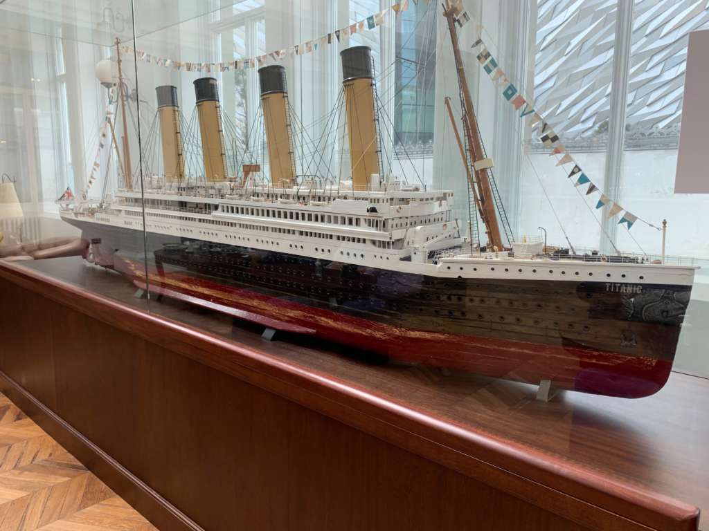
As Skipper/Captain of any size boat you have consider many factors whilst on passage? But for me the most imporatant consideration is the safety of your boat, yourself and your crew. Because simply your boat is the best lifeboat that’s ever been designed!
On the morning of the 20 June we left for Portaferry which is at the tip of the Ards pennisular and the entrance to Stranford Lough. My plan was to launch the new kayak so we could kayak in the lough which covers huge area.
https://en.wikipedia.org/wiki/Strangford_Lough
We had to negotiate the Copeland island and arrive at the narrows entrance to get the tide in our favour as the tidal flows on springs can be as fast as 6 knots. Tidal waters are pushed violently through the narrow channel at speed into Stranford Lough.
I did notice the speed of the tide just before we crossed to Portaferry marina as we came into the pontoons I had make sure I had lots of power on to overcome the tidal flow. We moored safely at 17.01 20 June at Portaferry marina which on the starboard side at the top of the narrows into Stranford Lough.
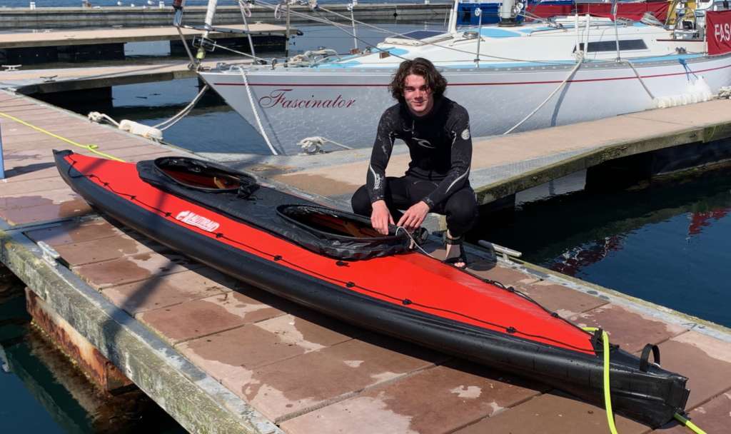
Following day we assembled the kayak which has a beech frame and neoprene outer skin. I checked the tidal flow near the shoreline using a match stick to see how fast the current was flowing which indicated if we kept near the shoreline we would be safe. Off we went for trial run there was a fast flowing part near a protruding outcrop, but as long as we paddled strongly together we’d get around it okay. But I thought if on the ebb you got caught up in its flow you be swept right down the narrows and out to sea. Next day we did a longer kayak trip into Strangford lough proper. Kayaking in tandem kayak you have to coordinate your strokes and keep in unison. Kayaking paddle technique is long steady strokes twisting your torso to obtain maximum thrust.
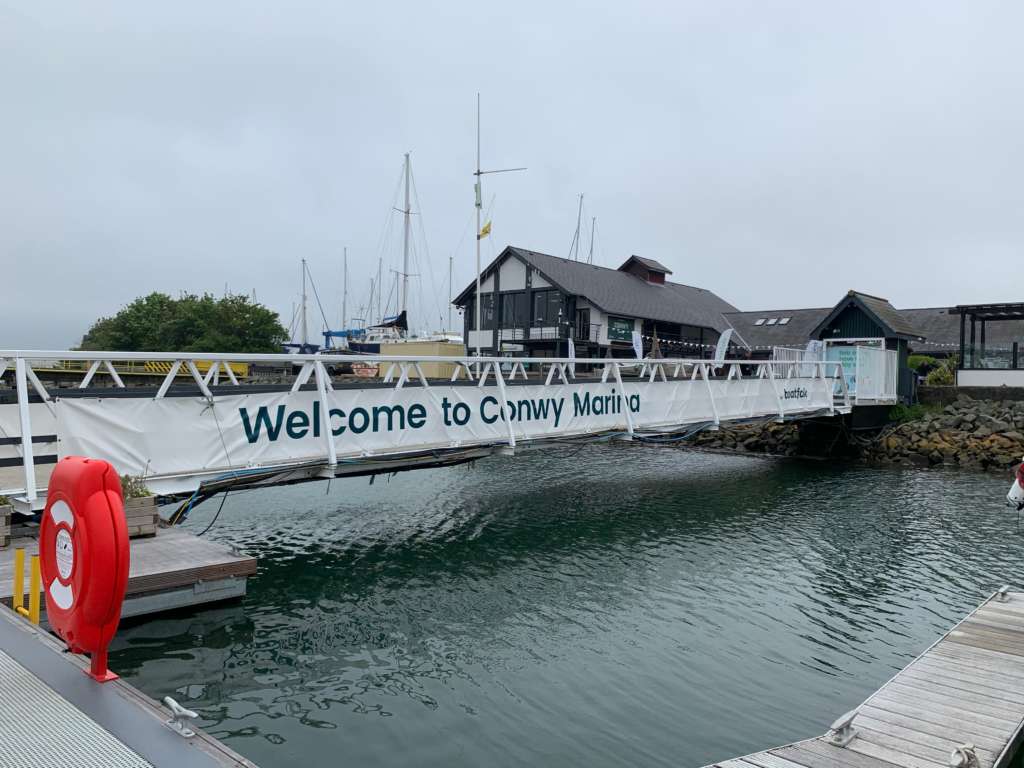
On the morning of 23 June we left Portaferry marina at 05.50am to catch the ebb tide and head out into the Irish Sea as soon as we left the narrows we were able to turn off the engne with nice winds to push across to North Wales. When we past through the Copeland islands a few days before we could clearly see the Isle of Man. I originally planned to sail to Peel and spend a few days looking around. I had spoken to the Peel harbourmaster he said the IOM was closed due to covid, what a shame? I had planned to get to the Conway entrance on the morning of 24 June and to arrive at the fairway buoy off Conway navigational channel at 7.30am 3 hours before high water Conway. This was to get us safely over the bar and into Conway marina and to ensure we had enough water under our keel going down the buoyed channel. I could see Anglesey and then Puffin island to starboard and the Great Orme to port . It was misty morning you couldn’t see the top of the Great Orme. Once we were into the river Conway proper I could see the speed and strength of the flooding tide. I had spoken with the marina on the VHF radio to confirm the gate ledge opening time we were bang on with timings and we safely moored up in the marina at my new home at E pontoon.
We had great sail from Northern Ireland to Wales and Gustav the Aries self steering vane happily steered us all the way to Wales. In fact we were going so well I had to slow the boat down so we could arrive exactly at the Conway fairway buoy for 7.30am. Overall nautical miles from Holviken Sweden was probably around 1000Nm?
