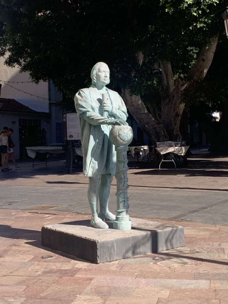
I took the autobus or Guagua from the Estacion de Guaguas de Valle Gran Rey to the small main town of San Sebastián La Gomera which is on the east side of the island facing the island Tenerife. With the classical shape of the towering volcano of mount Teide at 3715 metres. The highest point in Span and the Atlantic Ocean. From the ocean floor its 7000 metres or 23,000 feet.
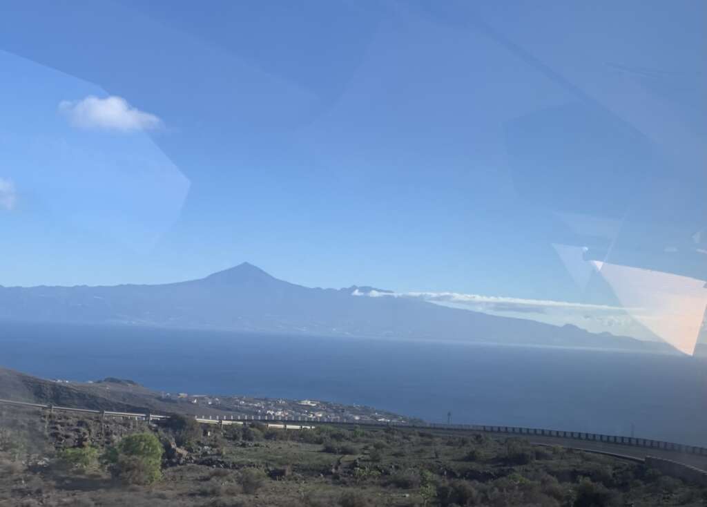
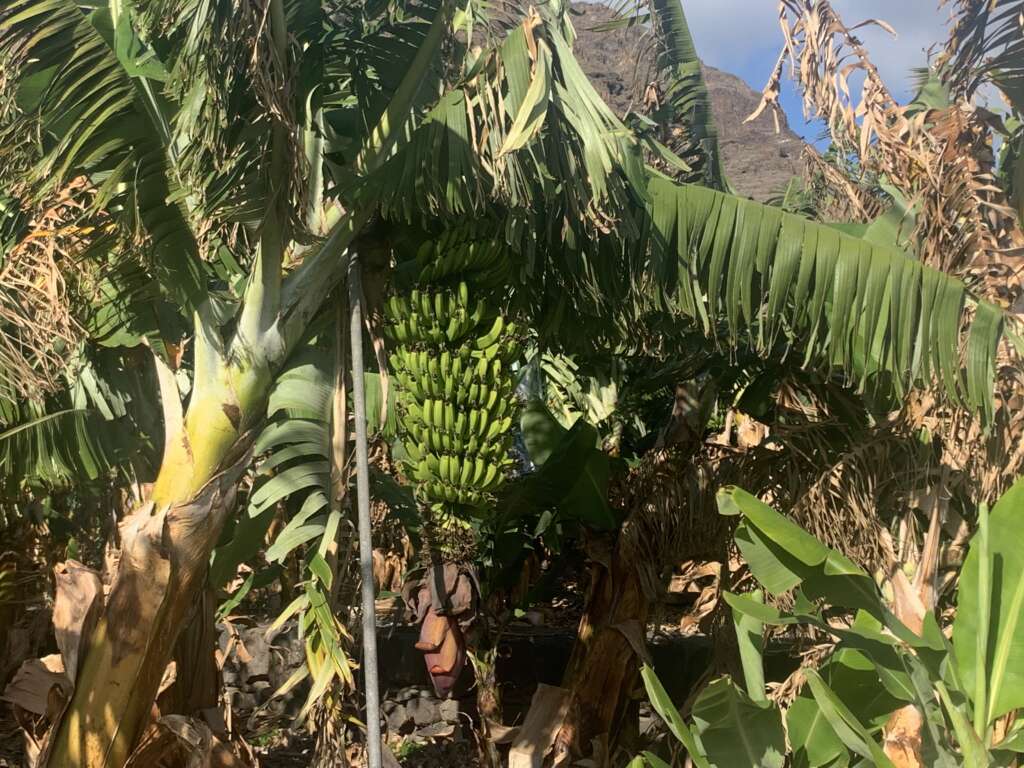
The journey on the autobus is quite spectacular your make your way up the barranco as you get higher and higher the bus has to do torturous route of zig zagging around hair pin bends slowly making its way to the top of La Gomera caldera which situates the Lauri Silva forest of Garajonay you drive through a unique ancient forest which catches clouds moving over the top of the island to allow moisture and water from the cloud to cascade down the volcanic mountain. There’s a comprehensive irrigation system on all the Canary Islands of galvanised pipes and small levadas. For the cultivation of main crop of bananas.
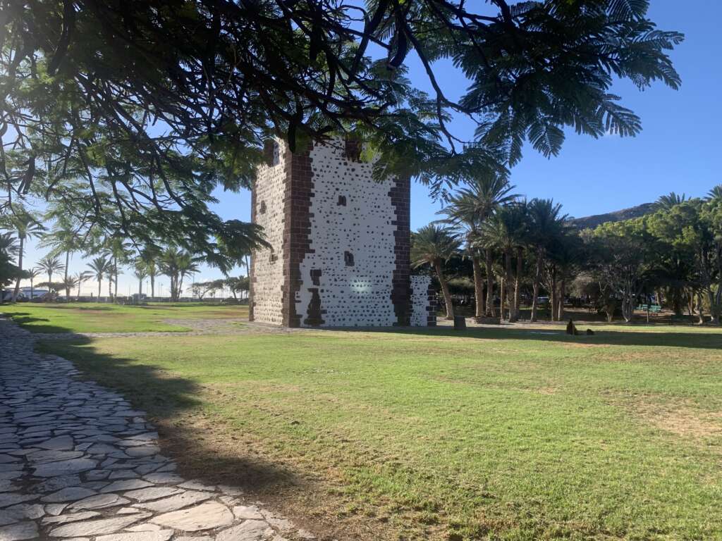
San Sebastián was built after the fortification Torre del Conde in grid like pattern and was the model for towns and churches during the Spanish occupation of Florida parts of Texas and California of North America and central and South America. It took the Spanish the first, and later the British, Portuguese,French and to less extent the Dutch in europeanising the americas.
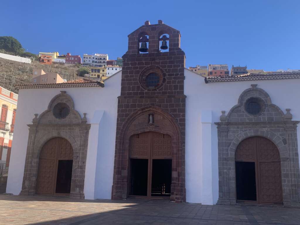
The Spanish were the first conquistadors followed by the Portuguese finally us Brits. Not forgetting the French who were all seafaring nations. But the Spanish and the Portuguese were the originators of sea voyages of discovery. The Portuguese developed the Arab style lateen and square rigged sailing caravels.
Christopher Columbus or Christobel Colon had a small dwelling place in San Sebastián and came in from Spain for victualling and fresh water. Christopher Columbus wasn’t actually Spanish but an italian seaman from Genoa in northwest Italy. He had originally gone to the Portuguese court to under take voyage to Cathay and Japan.
However the Portuguese under the auspices of Henry the Navigator were already on their world exploration around the west African coast down to Cabo da Boa Esperança or Cape of Good Hope. However the real southern cape of Africa is further east called Cape Agulhas or as the explorer Bartolmeu Dias called it Cabo das Tormentes or Cape of Storms.
Columbus with his three ships left from Pelos de La Frontera. Headed south to the Canary island archipelago and the small island of La Gomera. His small flotilla were his own ship Santa Maria and the caravels Nina and the Punta. Fortunately he choose to have the lateen rigged caravels as these were primarily used by the Portuguese for coastal sailing around Africa, being flat bottomed and far better to windward then a square rigged ship, especially against adverse winds.
Navigation was rudimentary and many thought Columbus voyage was madness crossing of Atlantic Ocean. Also Columbus distances regarding the size of the planet he thought it was 16,000 nm at the equator when it was 21,000 nm. He left and crossed more or less in westerly direction. luckily he did probably pick up either northerly or north easterly winds to blow him across the Atlantic. The distance from La Gomera to San Salvador in the Bahamas archipelago is 3058nm. So at my sailing speed in Stella Polaris I would be averaging 100nm per 24 hour and it would take me a month or 30/31 days of sailing from La Gomera to San Salvador in the Bahamas, again depending upon wind speeds and wind direction. Not sure if Columbus had a magnetic compass onboard Santa Maria ? However he probably had access to an astrolabe.
Astrolabe is fascinating Arabic navigational instrument, however, it was available to navigators at that time it like modern day slide ruler of the heavens.
The astrolabe has four main parts:
- Rete: A rotating, net-like map of the night sky on the front of the astrolabe
- Alidade: A rotating bar on the back of the astrolabe with vanes and pinholes for measuring altitude
- Plate: A projection of the sky above the observer at a given latitude
- Mater: The body of the astrolabe that contains the rete and plate.
- How it’s used
To measure the altitude of a celestial body, line up the object in the alidade’s sighting holes and read the altitude from the scale on the edge. - What it can be used for
Astrolabes can be used for many purposes, including:- Determining latitude: Sailors could use the astrolabe to determine a ship’s latitude by measuring the sun’s inclination at noon or the inclination of a known star.
- Telling time: Astrolabes could be used to predict sunrise and sunset, and then calculate the length of the day.
- Dividing the day into prayer times: Muslims could use the astrolabe to divide the day into the appropriate prayer times.
- Finding the qibla: The qibla is the direction of Mecca, and the astrolabe could be used to determine it.
- Measuring the heights of stars and buildings: The astrolabe could be used to measure the heights of stars and buildings.
I thought I’d include a video of an explanation of how it works and various parts of the astrolabe.
Now I know Columbus had two log books one which was the real one and the second a make believe one for his first mate. Remember most seaman of the medieval time had no proper educational schooling. It was still highly religious world with lots of mystery! There must of been lots of conjecture about the oceans and certainly about sea monsters. Large Whales such as the humpback whale! And was the earth actually round? Could sailors fall off the end into the abysses? If it was round what was its actual size at the circumference. Which I mentioned Columbus thought it 16,000 nm around the circumference. So distances were off in his summations and he wasn’t aware of the American continent, maybe he was? He told the Spanish court he was sailing to Japan and not the America’s?
Okay so if he had astrolabe onboard he could work out solar time and the latitude of heavily bodies. Polaris in the northern hemisphere is relatively easy to identify because you use Ursa Major to find Polaris. The stars and constellation move around the night sky in anti-clockwise fashion.
The beauty about using Polaris as navigational star or celestial body and with the use of an astrolabe is the ease of working out your latitude. The astrolabe or marine astrolabe which is a more simple instrument for ascertaining latitude. This gives you the elevation or altitude of polaris above the visible horizon. On the equator Polaris would be on the horizon. At the North Pole it would be at your zenith directly above you. For La Gomera Polaris would be 28 degrees North above the visible horizon. Longitude wasn’t really available to navigators so they didn’t know exactly how far they were from La Gomera other than using dead reckoning. Distant run each day on a compass bearing, however you need a log to work out speed over the ground. By throwing a piece of wood into the water and counting in seconds how long it took to go from the bow to the stern of the boat. This is fairly rudimentary. However you can get an estimate of your speed and distant run each day. Columbus had no navigational charts onboard to warn him of any dangerous shallows or where next landfall would be located!
I read accounts that the crew were starting get alarmed at time away from land. Fortunately for Columbus he saw fires in the distance on San Salvador one of the outer islands of the Bahamas archipelago. Dangerous waters to navigate being such shallow seas.
Spanish baja mar (“shallow sea”) or from Taino ba ha ma (“big upper middle land”) the Taino indigenous Indians inhabited the Bahamas and the large island of Hispaniola. La Española, meaning “The Spanish (Island)”. It was also called Santo Domingo, after Saint Dominic. Now called the Dominican Republic.
The first meeting with Taino Indians was friendly as the indigenous Indians thought these strange white men with beards and strange fire sticks were gods and not mortal men. However little did the Taino Indians realise they weren’t gods but devil men. Who would cause death and destruction to these friendly peoples. Which went on to be the bloody conquest of the American continents. That will be my next blog on the ruthless nature for power, wealth and glory of the conquistadors. Which marked the start of the European exploitation of the world.